1. Kenwood TS-2000 Frequency Calibration

    I've been spending a lot of time recently listening to WSPR beacons. The recent picoballoons that I have launched all used WSPR for to transmit their location and altitude. WSPR is a great for solar-powered picoballoons because the transmit power is on the order of 10 dBm (10 milliwatts), which is extremely low.

    One night, I was just passively watching the WSPR decodes while doing other things on my shack computer. Every once in a while, I would notice a WSPR beacon that was outside of the 200 Hz WSPR band, and therefore wasn't decoded by WSJT-X. I thought this was interesting, who was transmitting out of the band? The transmissions seemed to always be on the high side.

    This ...

    Read More →
  2. W6PW SOTA Activation of Mt. Davidson, W6/NC-423

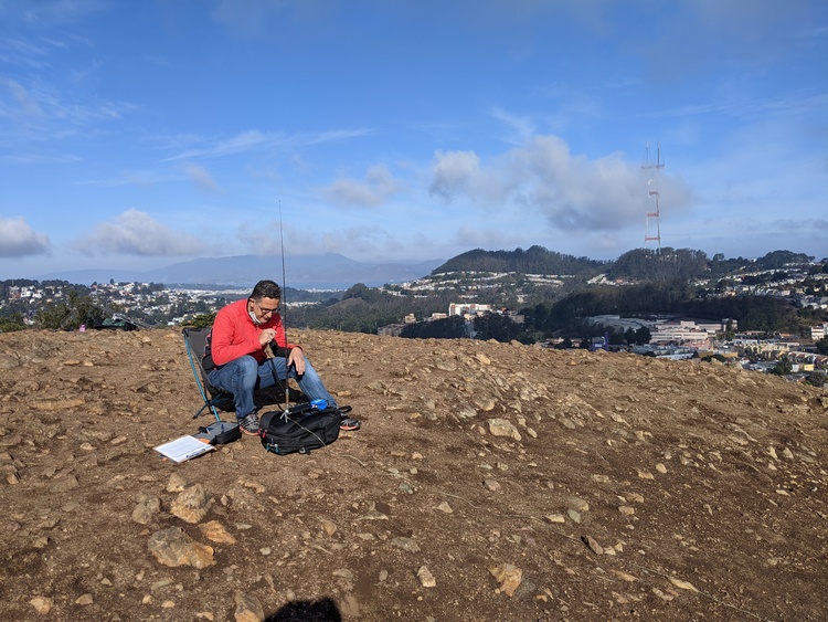
    After my very successful SOTA activation of San Pedro Mountain the previous weekend, and the San Francisco Radio Club Angel Island expedition at the same time, the club decided to do another SOTA activation on Saturday November 14th. Antonis AA6PP, Jeff KK6JJZ, Rick K6TOR, David KN6HFV, and myself went up to the top of Mt. Davidson and activated the peak under the club's callsign W6PW.

    It was a beautiful day, very clear after the rains the previous evening. We had a total of five stations. Antonis AA6PP and Jeff KK6JJZ ran the HF voice stations, trading off on 40, 20, and 15 meters during our activation. Rick K6TOR ran HF CW, and Dave KN6HFV ran the UHF station on 445 ...

    Read More →
  3. SOTA Activation of San Pedro Mountain, W6/NC-410

    Summits on the Air (SOTA) combines two of my favorite pastimes, amateur radio and hiking. The objective is to climb to a nearby peak, then contact as many people as you can on the radio. While most SOTA peak activations are on HF, my only portable gear at the moment is a few HTs.

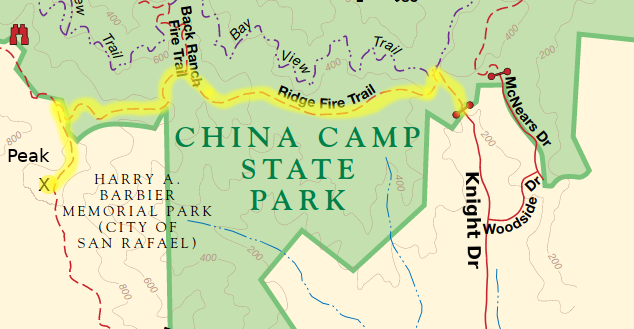
    On Saturday Nov 7th, I activated San Pedro Mountain, which is 1058 ft tall. It's located in Harry A. Barbier Memorial Park in the hills above San Rafael, next to China Camp State Park.

    I took the Knight Dr route, from Tom AI6CU, hiking along the Ridge Fire Road. The hike up took about 45 minutes, and some sections of the trail were very steep. I ...

    Read More →

« Page 2 / 2

links