1. SatNOGs Station Construction and LNA Power Modifications

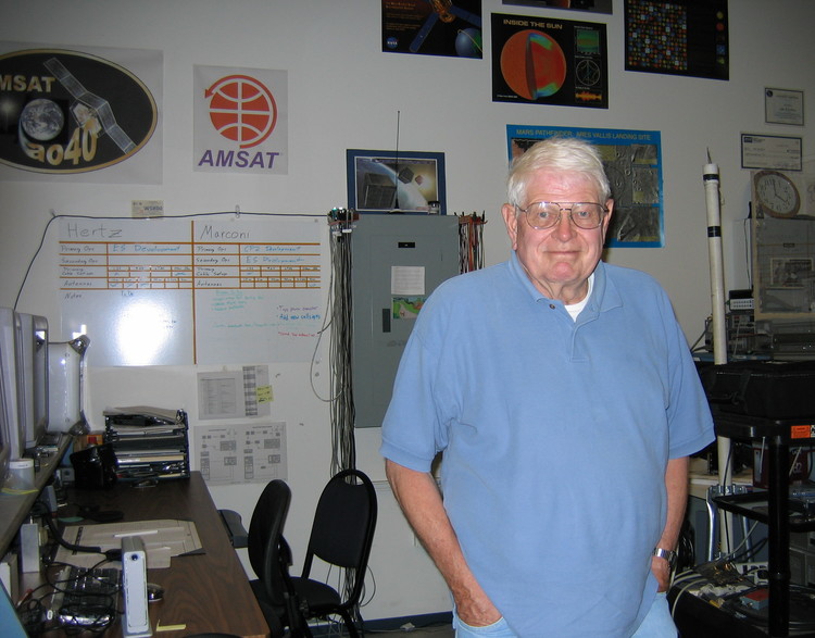
    In September 2018 I built a remote receiving station for the SatNOGs project. This post describes the build process, and modifications I made to allow for coax power of a Mini-circuits ZX60-33LN-S+ low-noise amplifier.

    SatNOGs is a distributed ground station network for amateur radio and university satellites. The idea is to spread a bunch of software-defined receivers around the world to help satellite operators downlink more data from their satellites. The open-source project, running on your local hardware, controls a software-defined receiver, moves directional antennas if you have them, and uploads the audio files and decoded data to a big database. Satellite operators, and other curious people, can see almost-real-time telemetry from the satellites.

    As a historical aside, the concept ...

    Read More →
  2. W6PW SOTA Activation of Mt. Davidson, W6/NC-423

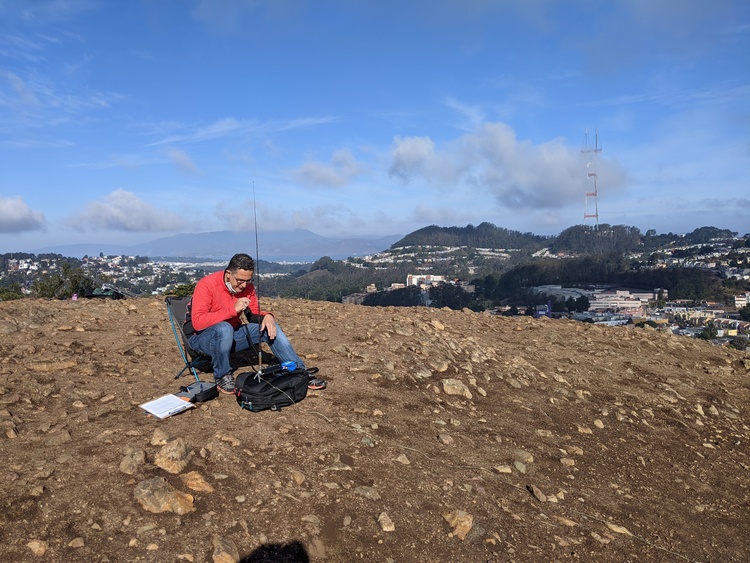
    After my very successful SOTA activation of San Pedro Mountain the previous weekend, and the San Francisco Radio Club Angel Island expedition at the same time, the club decided to do another SOTA activation on Saturday November 14th. Antonis AA6PP, Jeff KK6JJZ, Rick K6TOR, David KN6HFV, and myself went up to the top of Mt. Davidson and activated the peak under the club's callsign W6PW.

    It was a beautiful day, very clear after the rains the previous evening. We had a total of five stations. Antonis AA6PP and Jeff KK6JJZ ran the HF voice stations, trading off on 40, 20, and 15 meters during our activation. Rick K6TOR ran HF CW, and Dave KN6HFV ran the UHF station on 445 ...

    Read More →
  3. SOTA Activation of San Pedro Mountain, W6/NC-410

    Summits on the Air (SOTA) combines two of my favorite pastimes, amateur radio and hiking. The objective is to climb to a nearby peak, then contact as many people as you can on the radio. While most SOTA peak activations are on HF, my only portable gear at the moment is a few HTs.

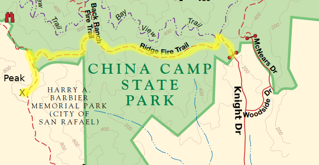
    On Saturday Nov 7th, I activated San Pedro Mountain, which is 1058 ft tall. It's located in Harry A. Barbier Memorial Park in the hills above San Rafael, next to China Camp State Park.

    I took the Knight Dr route, from Tom AI6CU, hiking along the Ridge Fire Road. The hike up took about 45 minutes, and some sections of the trail were very steep. I ...

    Read More →
  4. Oakland Radiosonde Investigation, Launch, and Recovery

    I've recently stumbled upon the radiosonde_auto_rx project. I've always been interested in tracking radiosondes, and even watched a radiosonde launch in Inuvik, NWT a few years back. Worldwide, there are over 800 launches every twelve hours of every day, and this data feeds into weather forecast models.

    The radiosonde_auto_rx project is built around decoding many different types of radiosondes with a software-defined receiver. The preferred receiver is a RTL-SDR Blog v3, and I already had an extra one of those (because they are so inexpensive!).

    Most radiosondes worldwide use 400-406 MHz as their downlink, but the United States also uses some frequencies around 1680 MHz. Reading the documentation on which frequencies are in use, it appeared that 1680 MHz was ...

    Read More →
  5. Decoding AIS Signals for Marine Monitoring

    Automatic Identification System is a system for boats to broadcast their location. This is very helpful in congested waters, such as in the San Francisco Bay, where many ferries, huge container ships, and small pleasure craft are trying to avoid each other. Onboard digital chart plotters can show nearby ships, their heading, speed, and expected position a few minutes from now. Early AIS transmitters were very expensive, but the new generation of Class B transmitters are actually pretty inexpensive.

    AIS operates on two frequencies, Marine VHF channels 87B and 88B. These are the high-side duplex frequencies of channel 87 and 88, and they are 161.975 and 162.025 MHz. The data link layer is 9600 baud GMSK, packet length ...

    Read More →
  6. High-Altitude Balloon Launch from Davis

    The SF-HAB group got together in the beginning of August to do another high-altitude balloon launch. The purpose was to test out a new 3D GoPro camera to see how well it would perform at altitude. We also had a LoRA transciever onboard, which we are thinking about using as a remote cutdown device that we would fly on future launches.

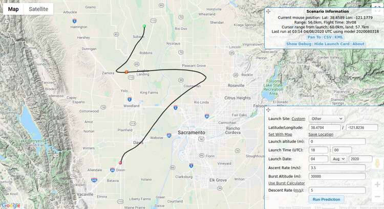
    The jet stream in July was really unsettled, so we delayed for a few weeks while the winds picked up a bit and shifted heading. Watching the predictions from HABHUB gave us a good idea when to launch. This was one of our predictions before launch.

    Prediction from Dixon

    Unfortunately, I really goofed up when doing the launch predictions. As you can ...

    Read More →
  7. High-Altitude Balloon Launch from the Berkeley Marina

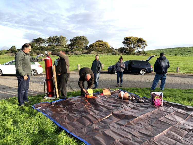
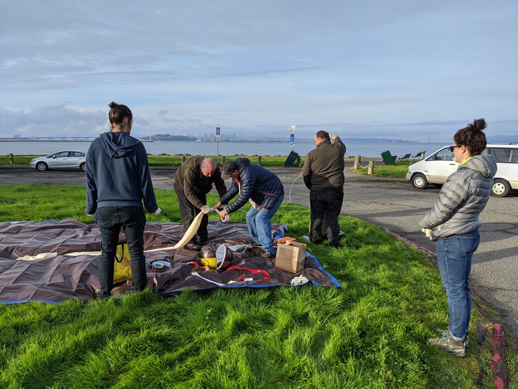
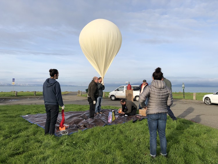
    After the success of the KD4STH launch in September, we decided to do it again! A new group formed for San Francisco High Altitude Balloons (SF-HAB), and we started scheming. The hardware and time stars finally aligned on Sunday March 8th, and we decided to launch from the Berkeley Marina. Unbeknownst to us, this was only a few days before the whole world shut down due to COVID-19. Great timing!

    Preparing the area for the launch

    Getting ready to fill the balloon

    The balloon was a Kaymont 3kg balloon, and we used an entire K-sized tank of hydrogen for lift. Unlike some previous launches, we didn't use weights to carefully measure/specify the ascent rate, we just used the whole tank. During the chase, we calculated our ascent rate at about 1400 ...

    Read More →
  8. Radiosonde Launch from Inuvik, NWT

    In September 2016 I visited the Environment Canada Weather Station in Inuvik, NWT. I arrived just as they were preparing for the 2300z weather balloon launch, and they let me hang around and take some pictures.

    Every twelve hours around the globe, approximatley 800 radiosondes are launched. These weather balloons record temperature, pressure, humidity, and location from the surface all the way up to 100k feet, or higher. These measurement are fed into weather models for long-term weather forecasting. These launches happen worldwide at 1100 and 2300 UTC, which gives the balloon enough time to be up at altitude around noon and midnight UTC.

    This is the Vaisala RS92-SGPD radiosonde, which measures location, pressure, temperature, and humidity as the balloon ...

    Read More →

links