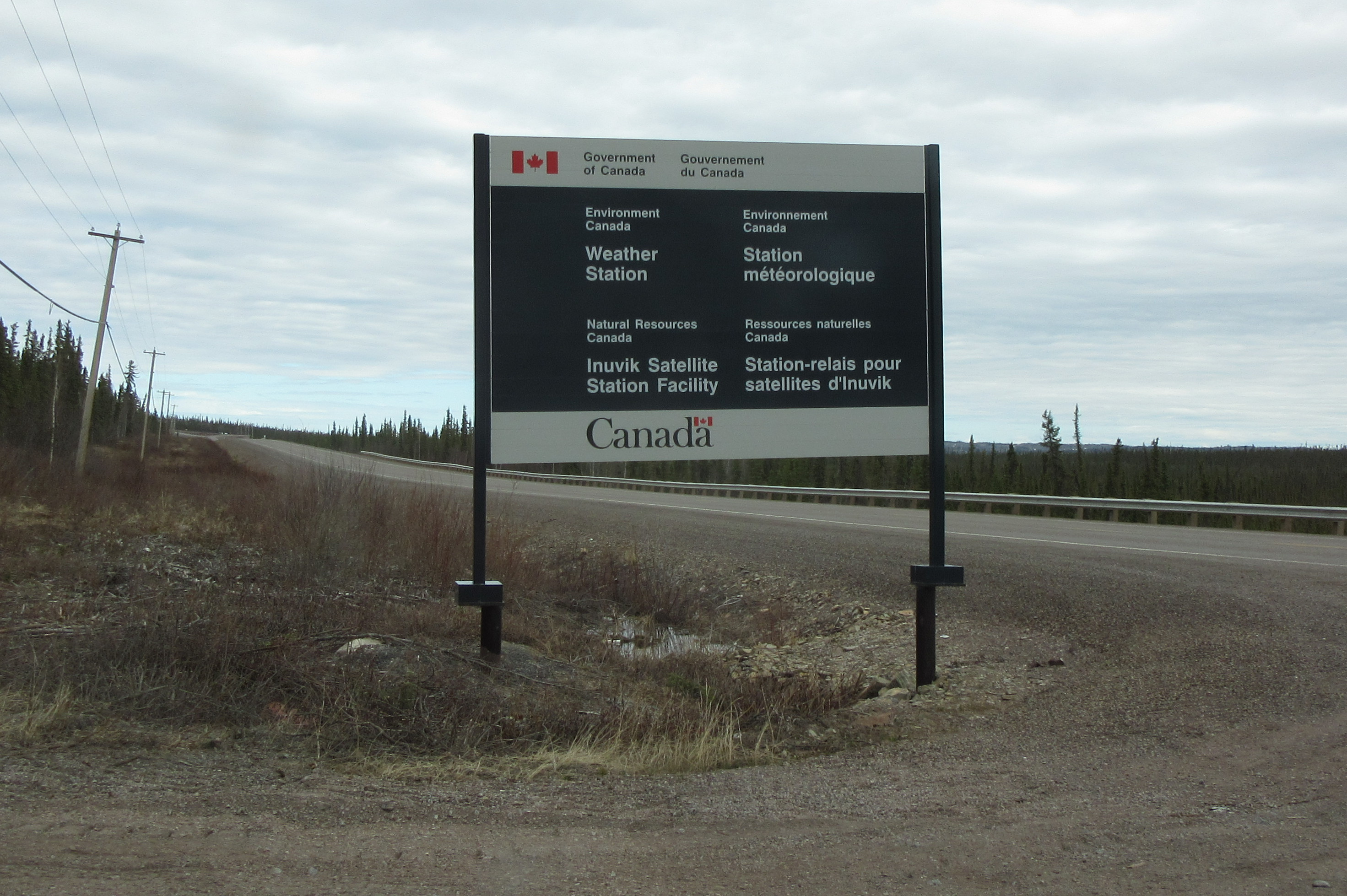
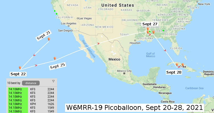
On the last day of my recent trip to Fairbanks, Alaska, I finished up work a bit early and headed to the airport to see a radiosonde launch. Looking at satellite imagery before my trip, the launch location has a few buildings so I thought it might be a manually-launched site like Inuvik or Newfoundland.
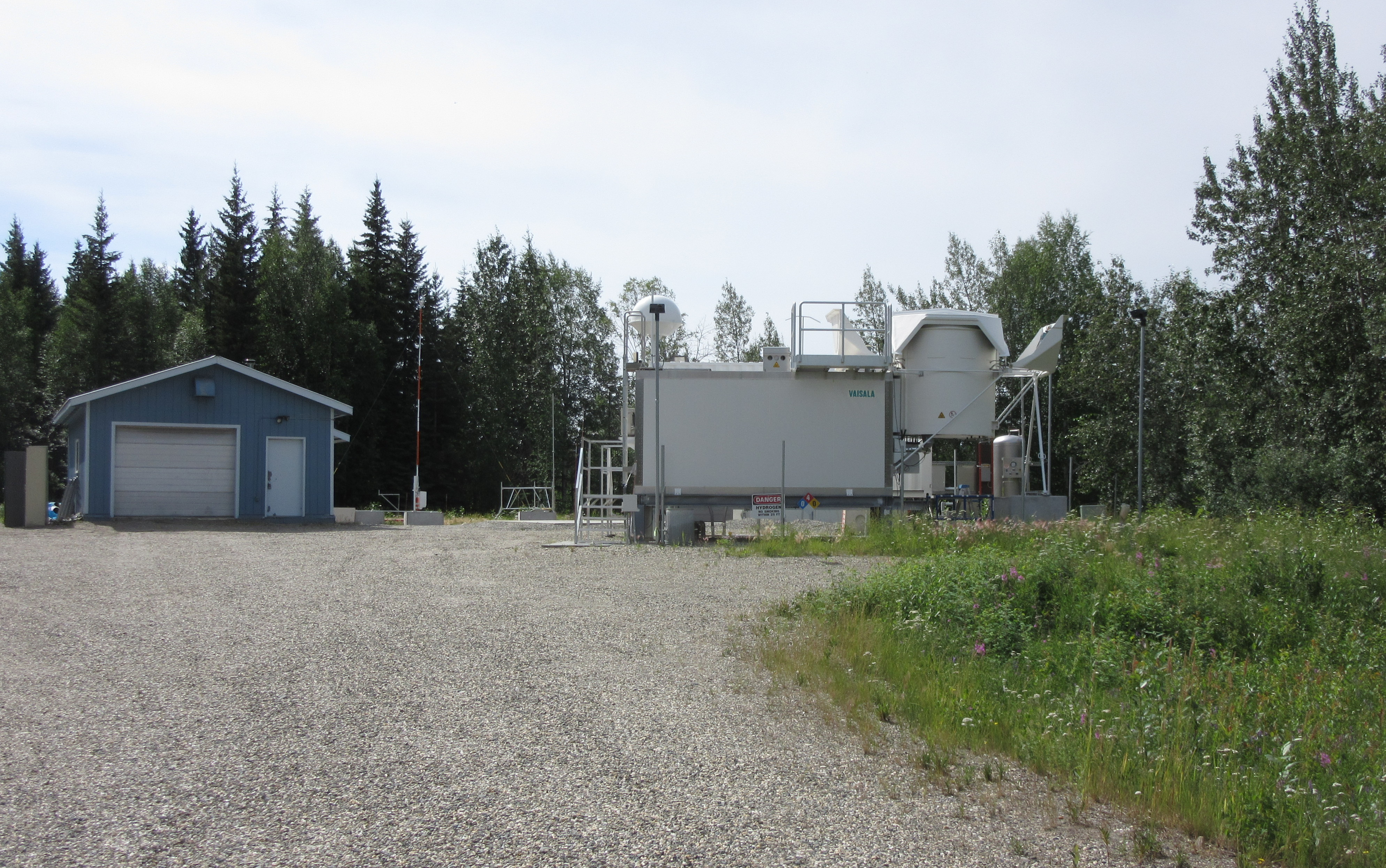
However, when I arrived, through the fence I saw a Vaisala AS41 autolauncher, just like my local radiosonde launch site across the bay in Oakland, California. No one to talk with this trip.
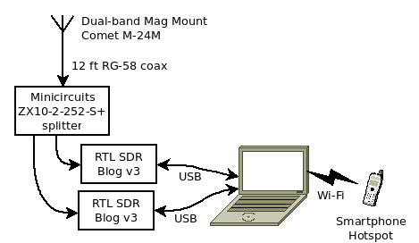
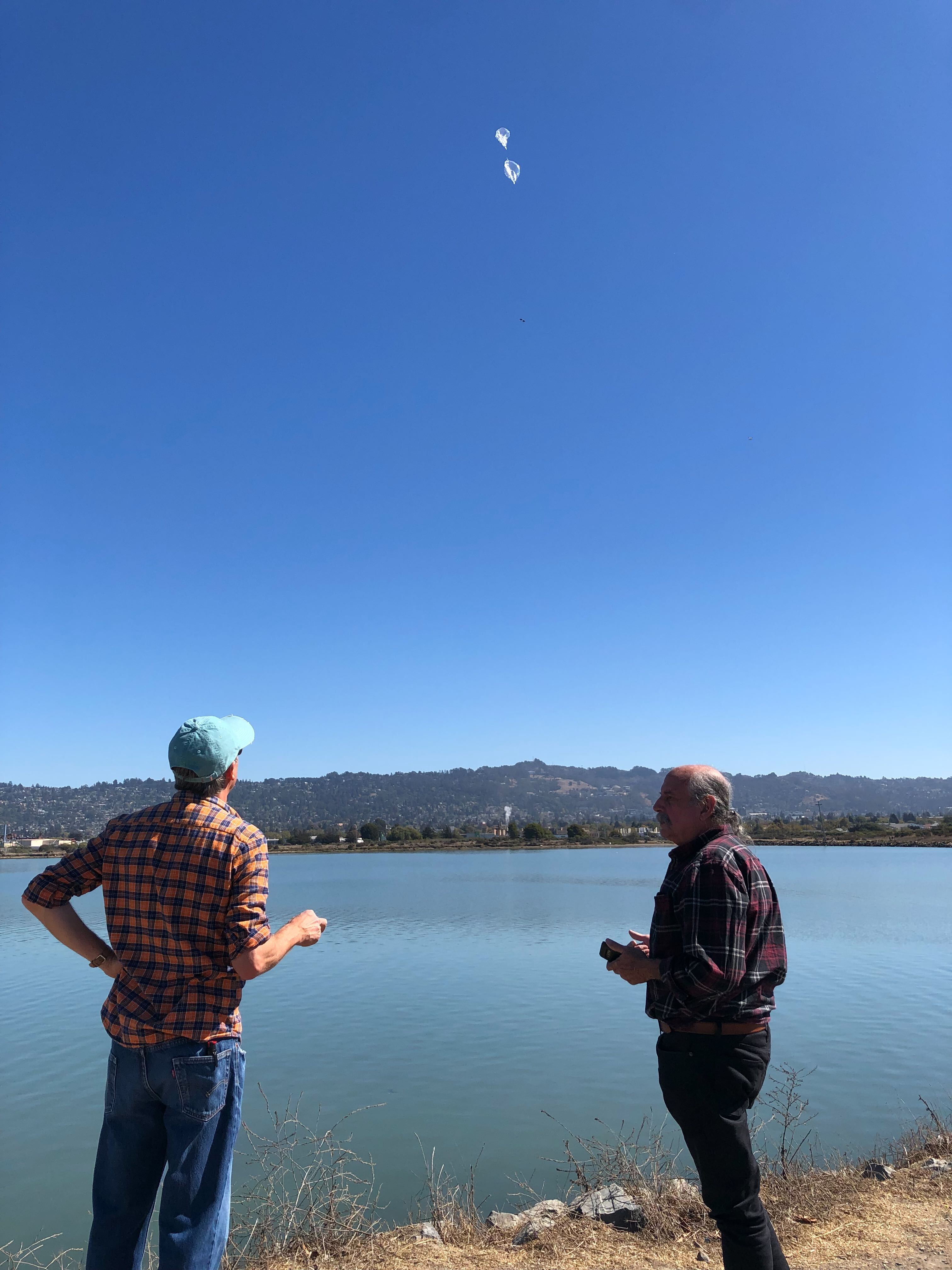
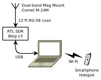
I arrived just before 3pm local time (2300 UTC), and the autolauncher was beeping away, indicating that the balloon was filling with hydrogen. I set up my mobile radiosonde_auto_rx station, with a mag-mount antenna and RTL-SDR dongle. Running the software inside a docker container makes it easy to install and update.
The radiosonde was turned on and transmitting on 405.3 MHz inside the autolauncher, but the expected launch at 2300 UTC came and went with nothing happening. Interesting, maybe something was wrong? My local Oakland station launches at exactly 1100 and ...
Read More →