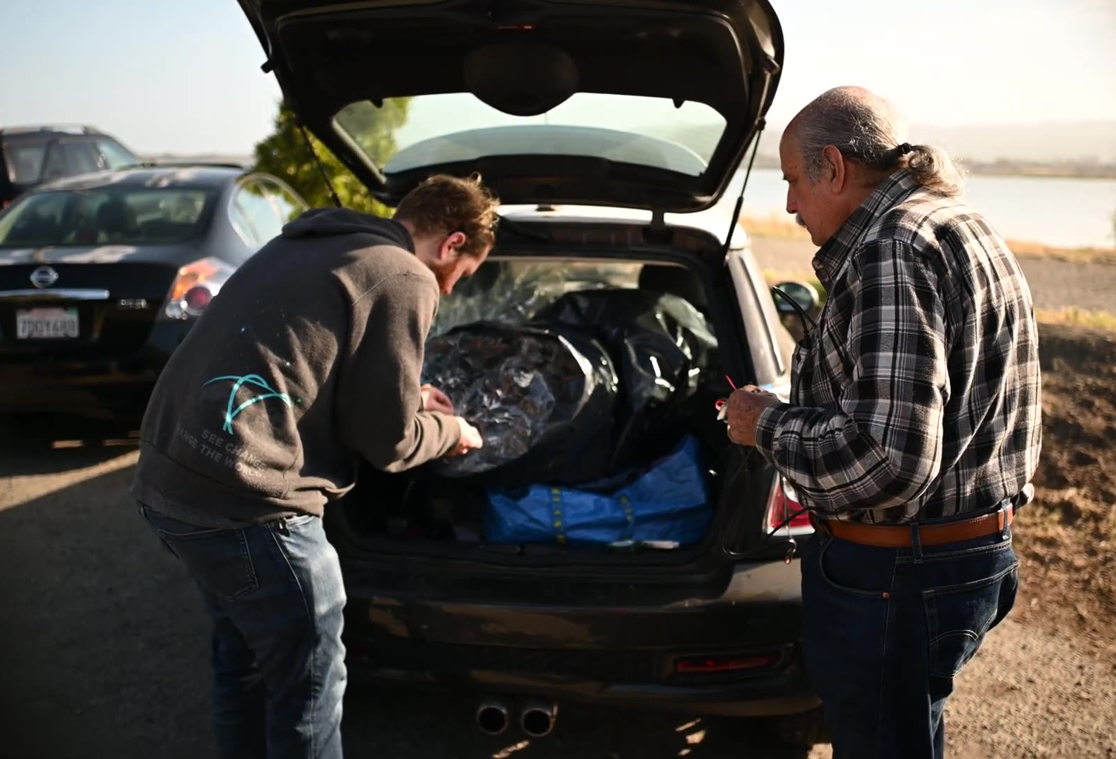
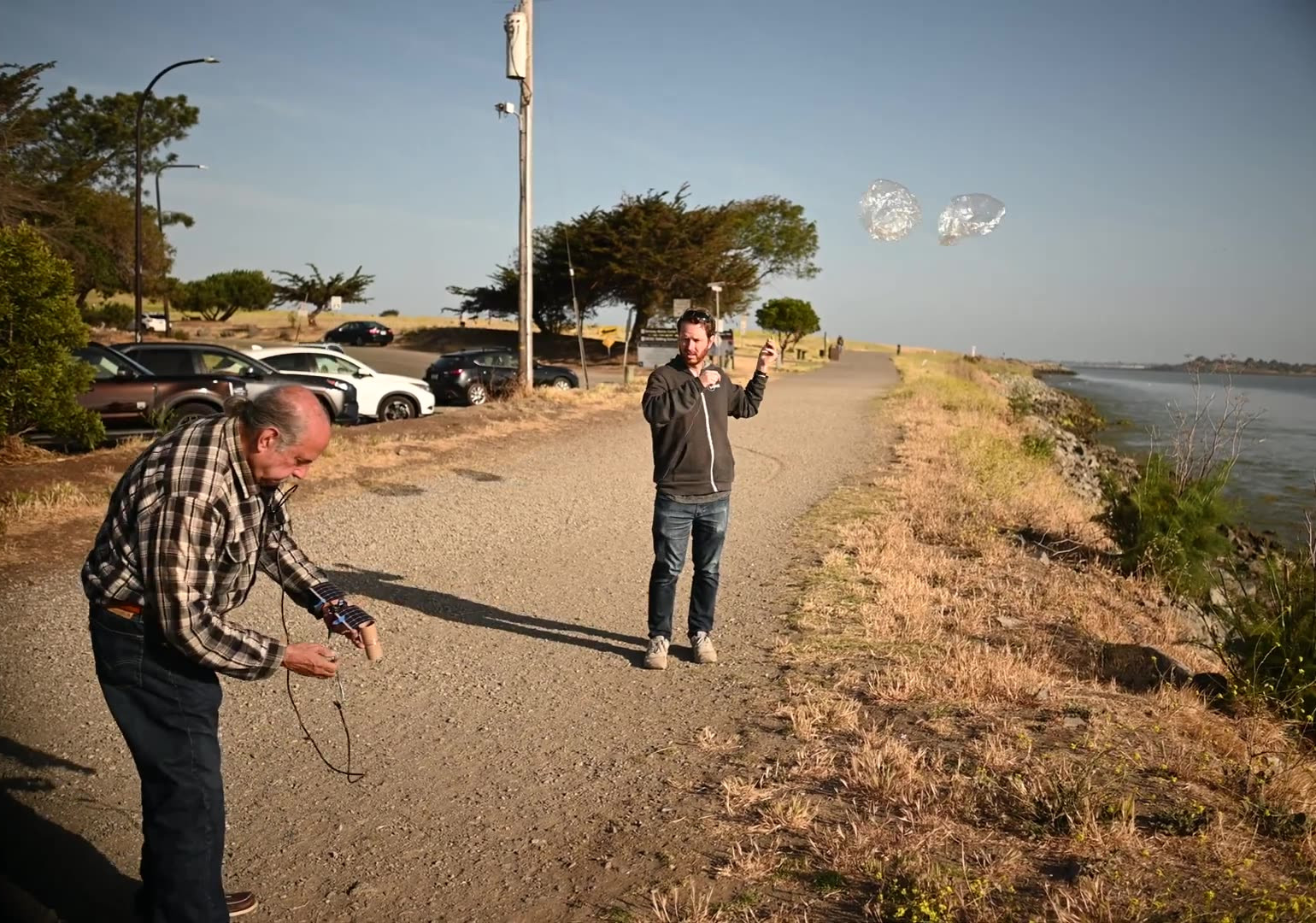
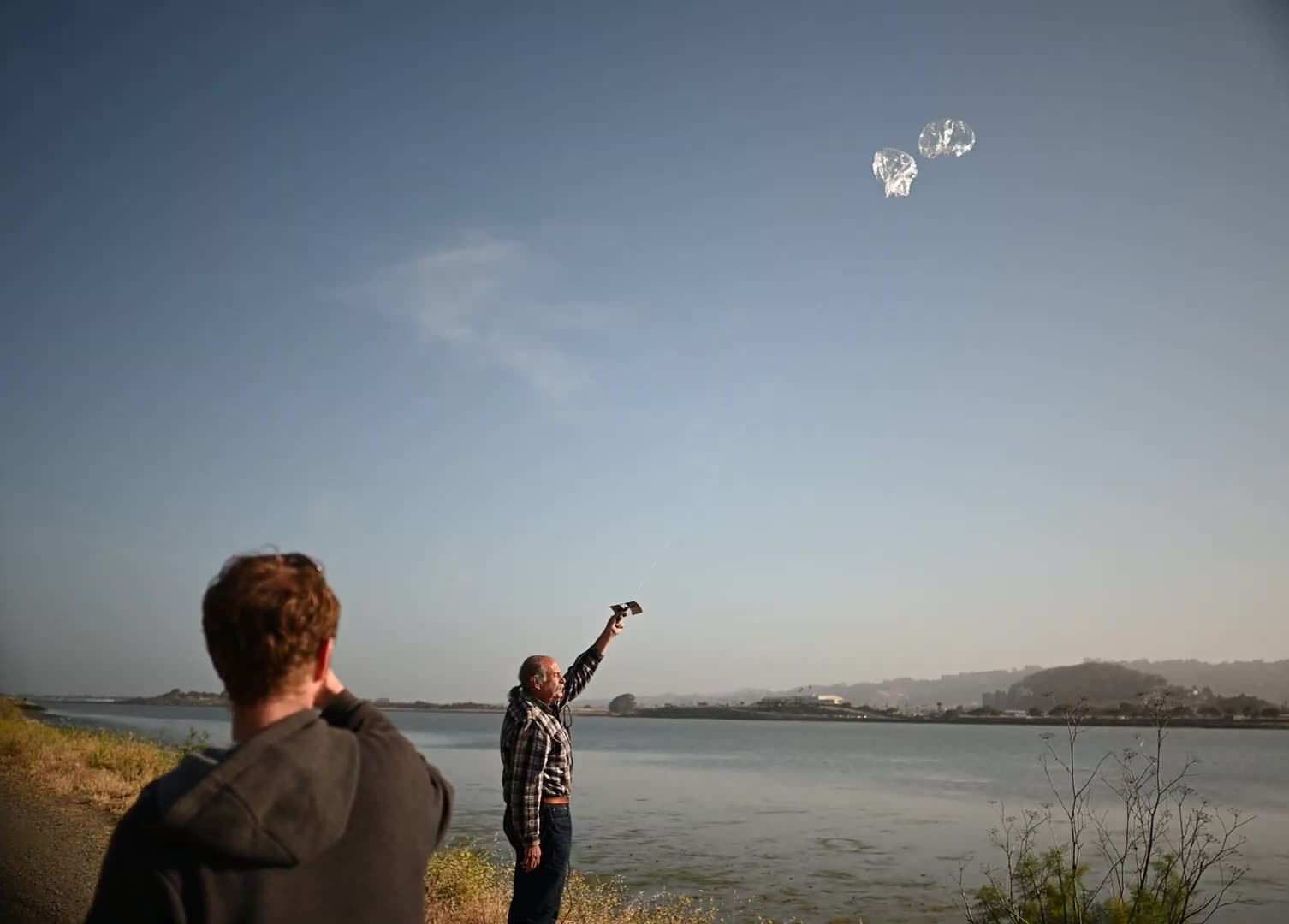
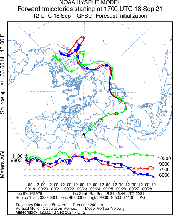
At the beginning of Week 3 of Launch 10, we were getting excited that this balloon might circumnavigate the globe. The prediction made from the middle of Egypt showed strong winds would take the balloon to the West Coast within 5 days, maybe even crossing the -122 degree longitude line of our launch site before heading back out to sea.
Flight Results
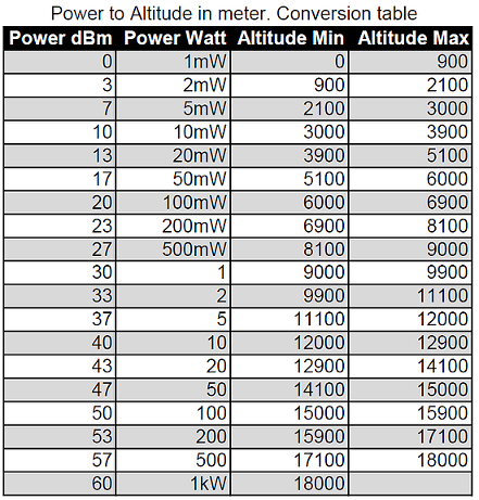
Unfortunately, the picoballoon only survived two more days in the Middle East. In a situation eerily similar to W6MRR-17, a single packet was received from the ground in southwest Uzbekistan near the Turkmenistan border. The altitude reported was less than 900 meters (encoded in the WSPR power field as 0 dBm or 1 mW). Maybe the tracker was stuck in a tree, or just laying on the ground, we will never know. The single packet from the ground was received by Jari Perkiömäki OH6BG in Finland, approximately 3,700 km away.
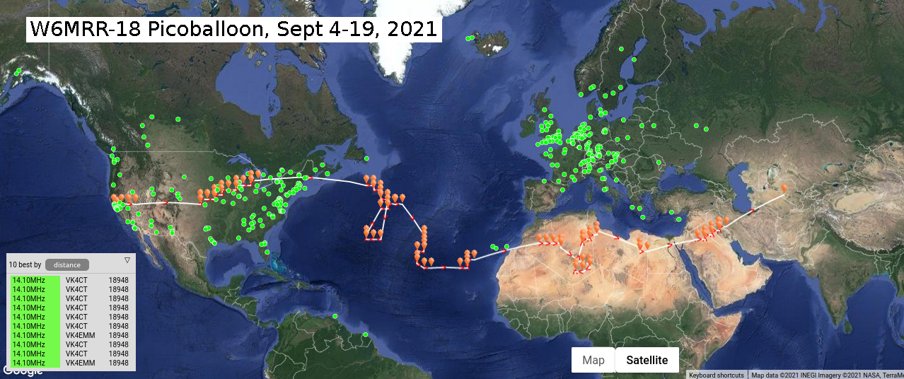
This picoballoon made it all the way from gridsquare CM87 to MN10. The center of MN10 is 63 degrees East longitude, which means that the balloon traveled ...
Read More →