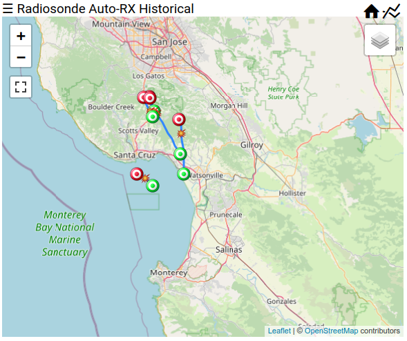
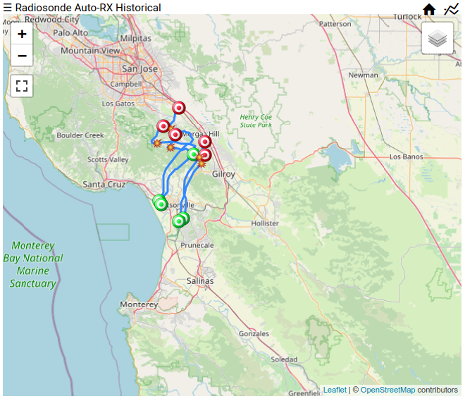
After my visit to Fairbanks, Alaska back in July 2022, I chatted with a friend who lives in Fairbanks. He agreed to host a radiosonde receiver at his house just north of town. Since I wasn't traveling to Fairbanks again in 2022, I shipped him all the parts necessary for the installation.
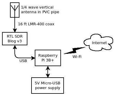
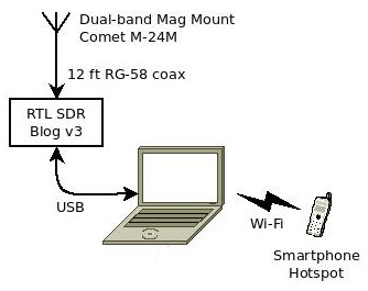
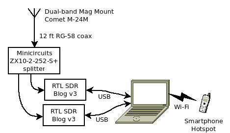
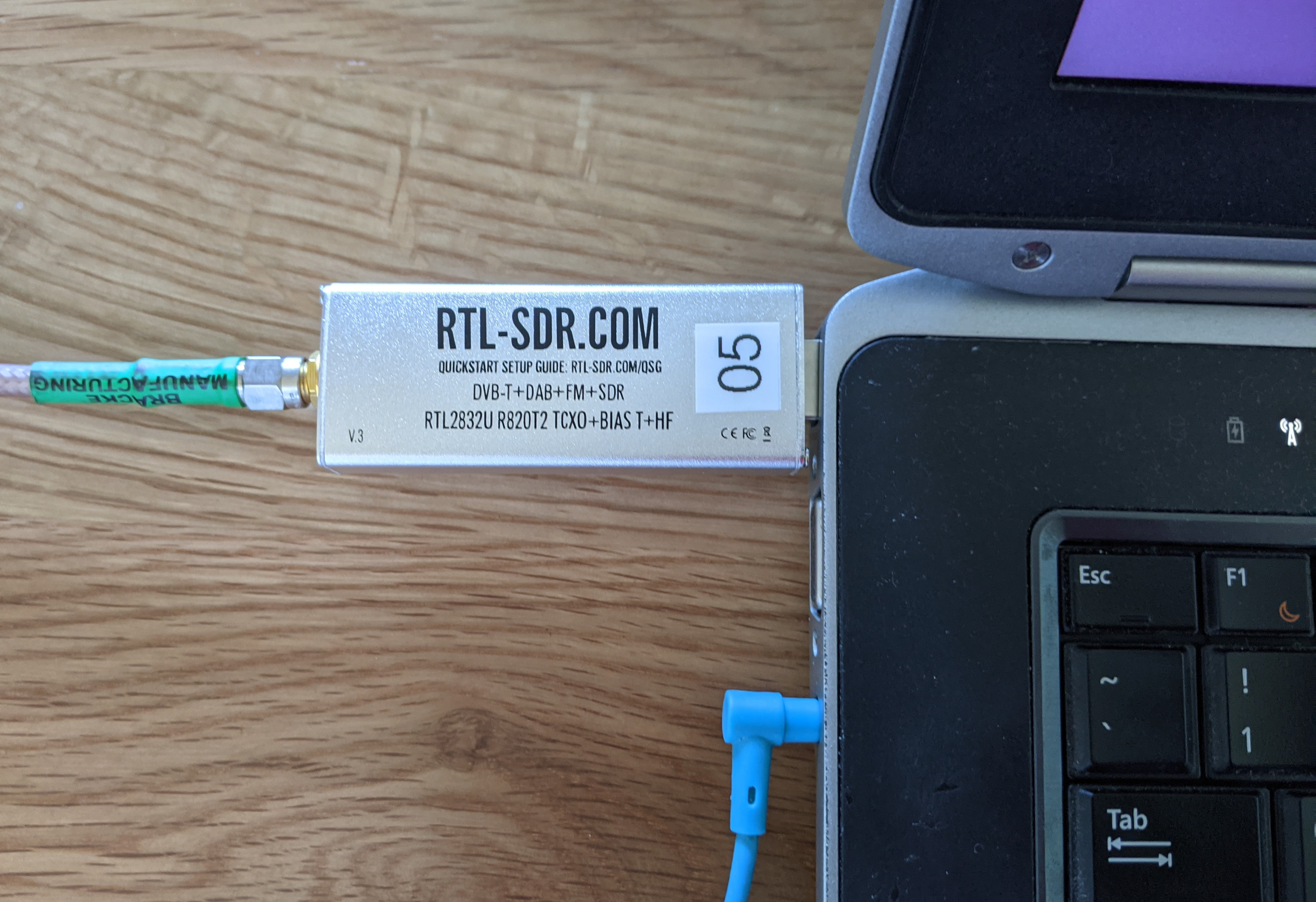
This station is the standard Raspberry Pi and RTL-SDR Blog v3 that I have been shipping around to Houston and other sites. radiosonde_auto_rx runs inside a docker container, which makes it trivial to install and update the software. For remote monitoring and control, wireguard is the way to go.
Antenna
My go-to antenna for radiosonde receiving is a quarter-wave ground plane antenna. They are super easy to build, very inexpensive, and work better than commercially-made antennas.
But a home-made quarter-wave vertical antenna has one major flaw: ice. Ice buildup on the elements will not only cause it to detune, but there is also a potential for mechanical failure. Hardware store 14-gauge copper wire just isn't strong enough to hold up ice.
Since Fairbanks gets a lot of snow ...
Read More →